

Fish farming could grow across the Amazon without adding to deforestation

Amazon fish farms grew 450-fold since 1985. Satellite maps now show what land the ponds replaced and where the carbon cost was highest.
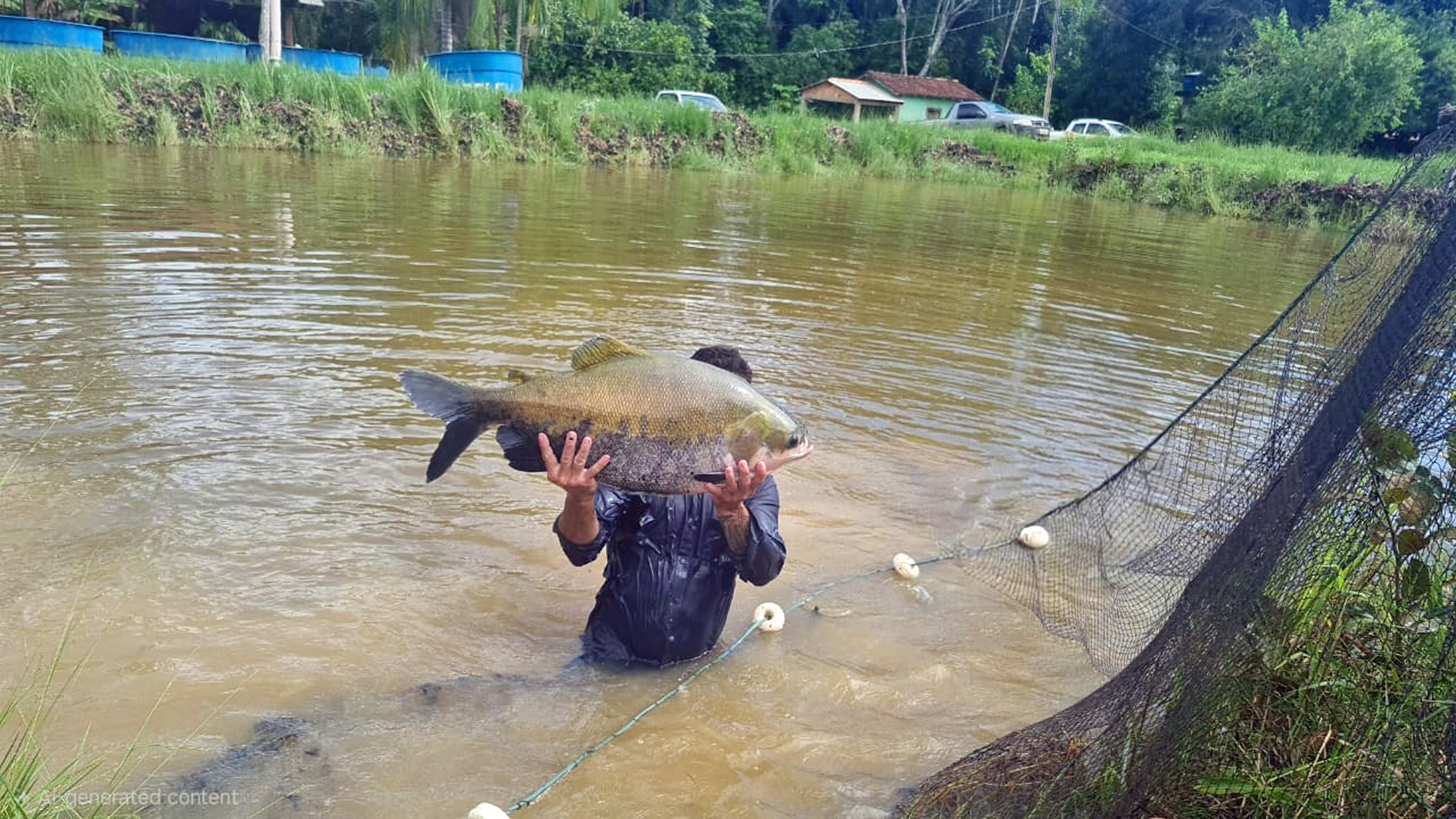
Fish farms are booming in the Brazilian Amazon, a region where producing more food has usually meant cutting more forest. Cattle ranching has driven most of that clearing since the 1970s. A new satellite mapping study finds the fish ponds mostly took a different path: nearly nine in ten went into old cattle pasture.
Felipe Pacheco of Cornell University led a team of American and Brazilian researchers. They taught a computer model to spot fish ponds in satellite images of Rondônia, a Brazilian state the size of the United Kingdom.
Then they traced each pond’s history back to 1985. Raising fish for food is called aquaculture, and what land it took over in the Amazon had gone largely uncounted.
“Decisions about where future ponds are built will largely determine whether aquaculture contributes to forest loss or becomes a more sustainable way to produce food on already-altered land,” Pacheco told Earth.com.
The study measured where the ponds went and what the digging released. It didn’t test whether fish farming pulls ranchers away from cattle.
Fish farms replaced pasture, not forest
Rondônia sits in the southern strip of the Amazon that researchers call the “arc of deforestation.” It farms more native fish than any other state in Brazil.
Between 1985 and 2022, the area covered by fish ponds there grew roughly 450-fold. Those ponds now cover about 49 square miles (127 square kilometers), around 5% of the state’s water surface.
The team trained its model on a government database of more than 11,000 confirmed pond locations. It then followed each pond back through MapBiomas, a Brazilian project that maps land cover year by year.
The history was lopsided. Ponds dug into former pasture made up 87% of the new area, while another 4% replaced old cropland or urban lots. Just 5% of the expansion replaced standing forest, and 4% replaced wetlands.
Pacheco said those two shares look small but warned that converting natural habitat can have outsized consequences for carbon and biodiversity.
Forest ponds produced the most emissions
Turning land into a pond releases the carbon stored in its plants and soil. How much depends on what grew there before.
Siting a pond on natural forest produces 1.1 to 8 times more immediate carbon emissions per unit area than siting it on wetland. Compared with pasture, the forest figure is 15 to 925 times higher. Pasture is nearly free, in carbon terms. Forest is not.
By the team’s estimate, pond building in Rondônia released about 265,000 tons (240,000 metric tons) of carbon between 1985 and 2022.
More than half of that came from the small share of ponds dug into forest. Yearly emissions were highest between 2010 and 2020, when the most forest was cleared for ponds.
Asked by Earth.com what surprised him most in the carbon numbers, Pacheco pointed to that imbalance.
“Because forests store so much more carbon than pastures, the relatively small area of forest converted to fishponds generated a disproportionate share of the emissions associated with aquaculture expansion.”
Fish need far less land than cattle
In Rondônia, producing 2.2 pounds (1 kilogram) of live animal in a year took about 140 square feet (13 square meters) of pasture for cattle. That’s roughly the floor of a small bedroom. The same weight of fish took about 22 square feet (2 square meters) of pond, close to a door laid flat.
Depending on the year, cattle needed three to 10 times more farm land than fish. Brazil’s statistics agency, IBGE, supplied the production figures. Aquaculture is already the world’s largest source of aquatic food, according to the UN’s Food and Agriculture Organization.
The team counted only land on the farm itself. Growing the crops that go into fish feed can take up to three times more land than the ponds occupy, and most of those crops grow outside the Amazon. Rondônia’s cattle, by contrast, eat grass grown on the spot.
The fish are also eaten locally, and they are rich in omega-3 fats that are hard to get from other foods. Soybeans grown in the region mostly leave it, bound for national and international markets.
Fish farming could double on worn-out land
Cattle have already worn out plenty of Rondônia. About 3,900 square miles (10,000 square kilometers) of the state’s pasture is badly degraded, down to bare soil and invasive grasses.
Another 15,400 square miles (40,000 square kilometers) is in middling shape, and cattle production there is 20% to 50% less efficient than on healthy pasture.
Fish need almost none of it. The team calculated that Rondônia could double its aquaculture production by converting just 1.2% of that degraded pasture.
Brazil’s climate pledge under the Paris Agreement already commits the country to restoring degraded landscapes. The authors point to restoration money and carbon credits as ways to pay ranchers for alternatives to cattle. They describe those as openings, not outcomes.
“Achieving this will require strong governance, enforceable land-use policies, and safeguards to prevent aquaculture or other agricultural activities from creating additional pressure on forests and wetlands,” wrote Pacheco in an email to Earth.com.
Cattle herds kept growing anyway
That doesn’t mean fish are replacing cows. Brazil’s cattle production rose across the same 38 years, so the ponds arrived alongside the country’s meat production, not in place of it.
Cattle ranching remains a major driver of deforestation in a forest that scientists describe as nearing critical tipping points.
Worn-out pasture has other possible futures, too. Forest that regrows on it stores about 1.3 tons of carbon per acre (2.97 metric tons per hectare) each year, though recovery is often slow and patchy.
The study did not measure the greenhouse gases that pond water gives off, the wild fish caught for feed, escapes that can spread invasive species, or the nutrients draining into rivers.
The biggest unknown is what a new pond does to the cattle economy around it. Whether fish farming substitutes for ranching, grows beside it, or even hands ranchers money to clear new pasture is a question the authors said their data can’t answer.
Answering it means following the ponds and the herds together, and the satellite images to do this keep arriving.
The full study was published in the journal Science Advances.
—–
Like what you read? Subscribe to our newsletter for engaging articles, exclusive content, and the latest updates.
Check us out on EarthSnap, a free app brought to you by Eric Ralls and Earth.com.
—–