

Why Did Earthquakes Strike Colombia and Peru Almost Simultaneously Today, Saturday Sept. 5th?
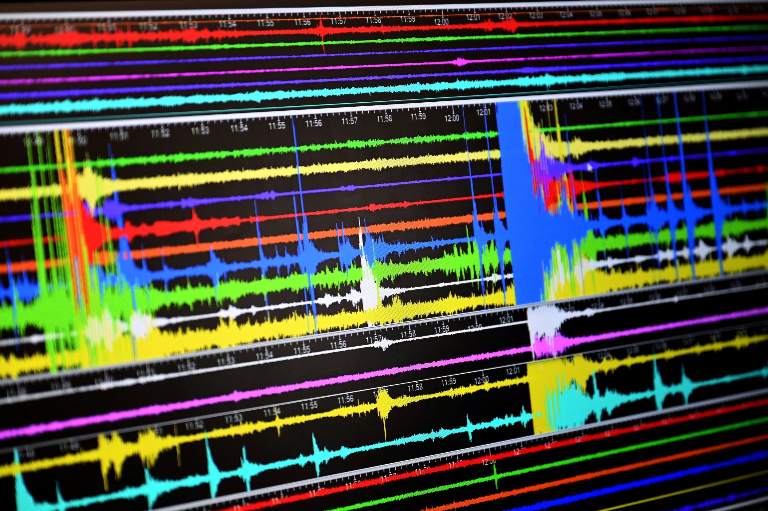
Photo by OZAN KOSE / AFP) (Photo by OZAN KOSE/AFP via Getty Images
- Peru’s Instituto Geofísico del Perú logged a magnitude-3.8 quake off the coast near San Pedro de Lloc, La Libertad, at 4:06 a.m. on September 5 — a shallow, 15-kilometer-deep movement that caused no reported harm.
- About two hours later, Colombia’s Servicio Geológico Colombiano recorded a magnitude-3.4 tremor beneath Los Santos, Santander, at a depth of 152 kilometers, with no damage reported either.
- Officials have not tied either event to Colombia’s catastrophic magnitude-7.4 earthquake near San José del Palmar, Chocó, on August 10 — a disaster whose confirmed death toll has climbed to 331 people as of the government’s most recent count.
A Predawn Jolt Off Peru’s Northern Coast
Most of La Libertad was still sleeping when the ground moved. At 4:06 a.m. Saturday, Peru’s geophysical monitoring service placed the source of the tremor 91 kilometers out in the Pacific, west of the fishing town of San Pedro de Lloc in Pacasmayo province — far enough offshore, and shallow enough at 15 kilometers down, that it registered only a light II-III on the Mercalli intensity scale in the nearest town. That’s roughly the threshold where people notice dishes rattle, not where anything breaks.
It wasn’t an isolated blip. A day earlier, a stronger — magnitude-3.9 — tremor rattled the coast near San Vicente de Cañete, well south in the Lima region, at a depth of 45 kilometers, while a separate magnitude-3.7 event struck near Atico in Arequipa’s Caravelí province that same morning. None of the three has been linked to the others; Peru’s location, where the Nazca oceanic plate continually slides beneath the South American continental plate, keeps the entire coastline in near-constant, mostly unnoticed motion.
Two Hours Later, a Familiar Shake in Santander
By 6:11 a.m., attention had shifted to Colombia. The country’s geological survey pinpointed a magnitude-3.4 tremor beneath Los Santos, a Santander municipality that shows up in seismic bulletins on an almost daily basis. This one sat far deeper than Peru’s — 152 kilometers down — which typically dulls how strongly a quake is felt at street level even when its magnitude looks similar on paper.
Los Santos sits above the Bucaramanga seismic nest, a tightly packed source of deep, moderate earthquakes that, according to the Servicio Geológico Colombiano’s own account, generates close to 45 percent of all seismic activity recorded nationwide. It’s one of only three such “nests” identified anywhere in the world, and officials have said repeatedly that its constant background rumbling doesn’t by itself signal anything larger building underneath.
Not an Aftershock — a Different System Entirely
That reassurance carries more weight than usual this year. Colombia is still working through the aftermath of the magnitude-7.4 earthquake that leveled parts of San José del Palmar, Chocó, on August 10 — the country’s deadliest in decades, with a confirmed toll that has held at 331 dead and more than 4,500 injured in the government’s latest update, issued September 3. Because Los Santos sits in a geologically distinct system from the subduction zone that produced the Chocó disaster, authorities have consistently declined to describe tremors like Saturday’s as aftershocks — a distinction they drew explicitly the last time a comparable Santander quake made headlines, in late August.
Saturday’s tremor also wasn’t a one-off. Just two days earlier, on September 3, a magnitude-4.2 quake struck the same municipality at a nearly identical depth of 146 kilometers, part of a steady drumbeat of smaller tremors that officials describe as normal background noise for the zone rather than a building crescendo.
Why Two Similar Numbers Felt So Different
Put the two mornings side by side and a lesson emerges that seismologists repeat often: magnitude alone doesn’t decide how dangerous, or even how noticeable, an earthquake turns out to be. Depth matters enormously — the closer a quake’s source sits to the surface, the harder it shakes the ground above it — and so does distance from population centers and the type of soil a city happens to be built on.
That’s essentially what separated Saturday’s two events from August’s catastrophe. A 3.8 and a 3.4, at 15 and 152 kilometers deep respectively, produced nothing worse than a scare in the pre-dawn dark. A 7.4 at a much shallower depth, closer to densely populated cities, produced a national emergency that Colombia is still recovering from three weeks later.
What Officials Are Watching Next
Peru’s Centro Sismológico Nacional and Colombia’s geological survey both continue publishing updated bulletins as new readings arrive, and civil defense agencies in both countries repeated their standard advice after Saturday’s events: keep an emergency kit ready, know the safe zones in your home, and avoid tying up phone lines right after a quake so emergency calls can get through. Neither agency has signaled any change in the underlying pattern of activity in either region — for now, Saturday’s pair of tremors is being treated as two unrelated, unremarkable entries in what has already been an unusually active year for earthquakes across South America.
© {{Year}} Latin Times. All rights reserved. Do not reproduce without permission.